
Interesting Things
Citizen Science Maps Global Shoreline Changes with Phone Photos
A global army of citizen scientists, armed with camera phones and smart software, is turning everyday beach walks into a powerful scientific monitoring system. The CoastSnap project is mapping coastal changes worldwide, offering researchers an unprecedented, day-by-day view of how waves and tides are reshaping our shores.
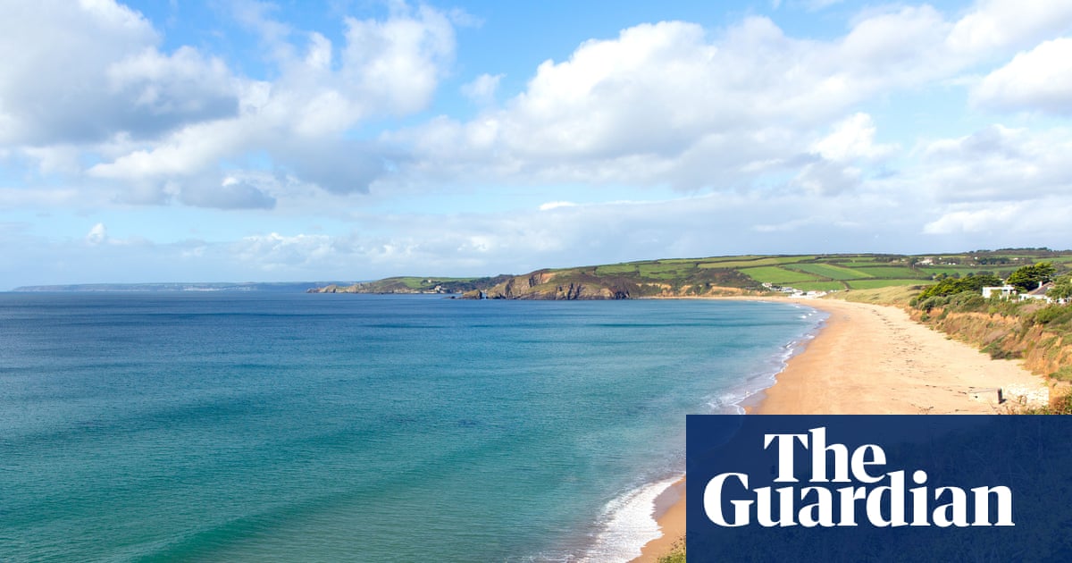
The Digital Tide: How Citizen Science Maps Our Changing Shores
Imagine a vast, shifting coastline—a place where sand is constantly being surrendered to the ocean and then rebuilt by the gentle hand of the tide. Tracking these subtle, relentless changes over decades would traditionally require armies of surveyors, expensive satellite imaging, and painstaking manual measurements. But what if the solution wasn't in massive government agencies, but in the collective gaze of everyday people? This is the surprising mechanism at play when citizen science steps onto the beach, armed with nothing more than a camera phone.
The CoastSnap project is turning this dream into a global reality. Launched in Australia back in 2017, it has blossomed into a massive, coordinated effort to monitor coastal areas worldwide. The core idea is beautifully simple: large waves and high tides erode sand, while gentler conditions deposit new material, causing sandbars to migrate in and out, reshaping the shoreline daily. By capturing photographs from specific locations, researchers gain an unprecedented, day-by-day view of this dynamic process.
A Global Network of Coastal Eyes
What makes CoastSnap so powerful is its sheer scale and accessibility. Researchers are no longer limited to a few controlled sites; they now have over 200 CoastSnap stations spread across 21 countries, including along the UK’s south-west coast. This network transforms individual snapshots into a powerful dataset. The technology ensures consistency: a cradle helps secure the phone for a picture taken from roughly the same position and angle, and sophisticated software then aligns these images, even performing a geometric flip to create a bird's-eye view of the beach.
This process allows scientists to move beyond simple observation. An algorithm maps the shoreline while correcting for tidal changes based on the exact timestamp of the photo. This means researchers can track coastal erosion caused by a specific storm, monitor how effective sand replenishment schemes are proving to be, or simply observe the long-term trends in beach shape. It’s like having a continuous, high-definition video feed of geological change, powered by the public.
The Momentum of Collective Observation
The real magic lies in harnessing human curiosity for scientific rigor. Tracking shoreline changes is inherently labour-intensive work, and an army of citizen scientists equipped with camera phones becomes an invaluable asset. People are naturally curious about their environment; when given a simple instruction—a cradle and a sign explaining where to send the snap—they become active participants in environmental monitoring.
This isn't just data collection; it’s community engagement. It connects people directly to large-scale environmental science, turning passive observers into active monitors. The momentum generated by this collective effort allows researchers to capture shifts that might otherwise be missed in sporadic, professional surveys. It transforms a complex, slow process of monitoring into an immediate, accessible, and globally distributed data stream.
Beyond the Shoreline: Science in the Wider World
While CoastSnap focuses on the dynamic interface between land and sea, the broader context of scientific discovery shows how interconnected these efforts are. In parallel, other cutting-edge science fields are also undergoing revolutionary shifts that underscore a broader theme: the speed at which knowledge is being generated. For instance, in the realm of mathematics, we see breakthroughs happening at dizzying speeds, with hundreds of mathematical papers dropped onto the internet overnight, potentially leading to PhD-level work being completed in mere hours.
This rapid acceleration in fundamental science mirrors the agility of citizen science. Both rely on distributed effort—whether it’s a global network of phone cameras or the instantaneous sharing of complex mathematical proofs. It reminds us that significant progress doesn't always require a single, monolithic laboratory; sometimes, it requires a vast, interconnected web of observation and contribution.
Why This Matters to You
So, why should you care about a beach in Cornwall or a coastline thousands of miles away? Because these seemingly small shifts are deeply connected to our immediate environment and future security. Coastal erosion isn't an abstract academic problem; it directly impacts communities, infrastructure, and ecosystems. Understanding how sandbars migrate helps local authorities plan for resilience against storms, manage coastal defenses effectively, and protect valuable natural habitats.
When you see a CoastSnap station, you are witnessing a piece of the world’s largest coordinated coastal monitoring program in action. You are participating in a system that provides tangible data to inform decisions about protecting our coastlines—a process driven by ordinary people using everyday technology to uncover profound truths about the dynamic forces shaping our planet.
CoastSnap enables researchers to follow these changes day by day.
The cradle ensures each picture is taken from roughly the same position and angle.
Want our sources?
Enter your email and we’ll send the claim-linked sources used for this article.
We use this address only to send this source list.